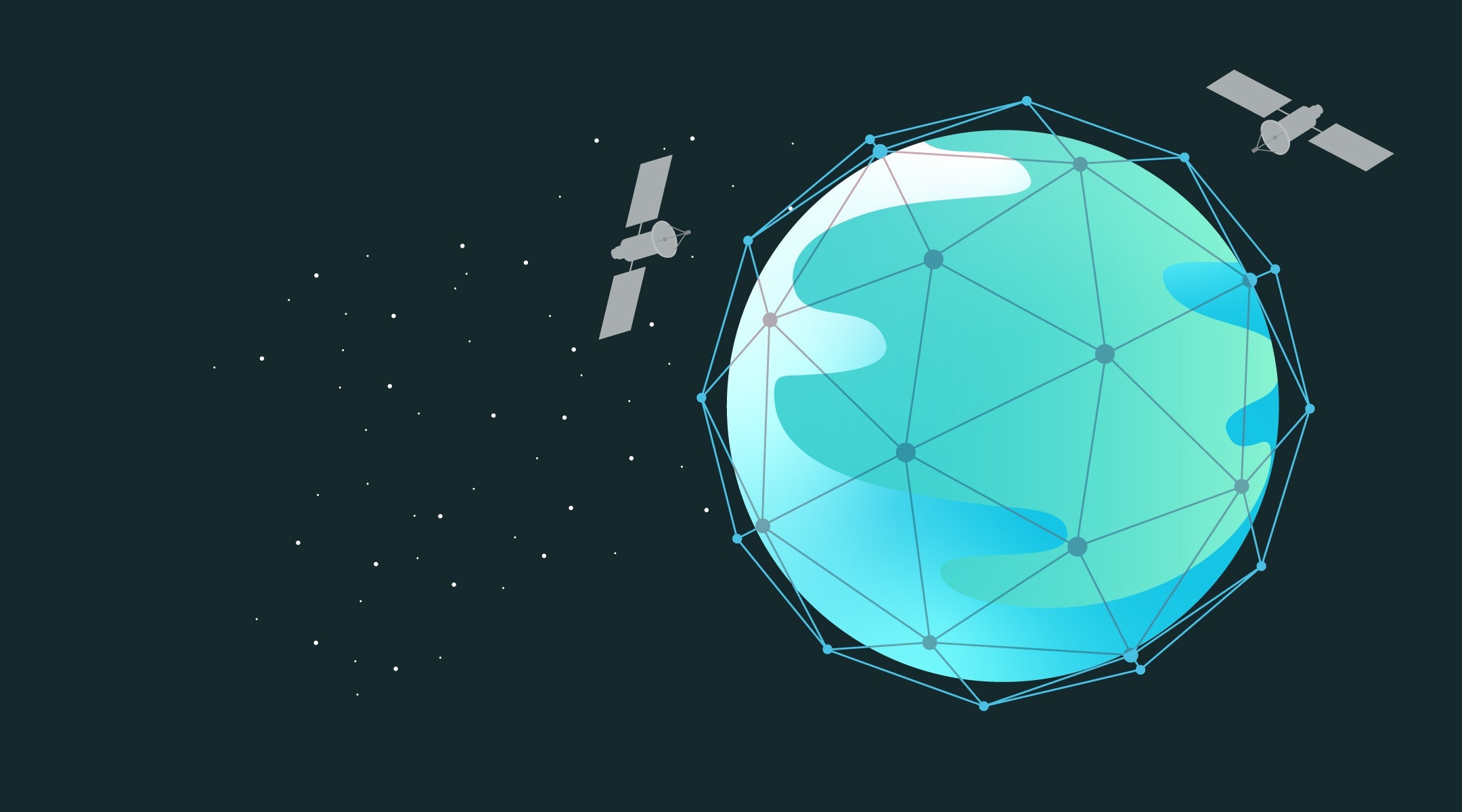
The Global Positioning System (GPS) is a satellite-based navigation network that provides time and location information anywhere on earth to a corresponding GPS receiver. GPS technology is used for navigation, location, and time synchronization as well as a lot more. We at Spytec use it for real-time tracking, where the GPS tracker sends its location to your phone, tablet, or computer. Today, GPS technology has evolved from a military tool into something you can plug into your car in 10 seconds.
Spytec GPS is a self-serve GPS tracking platform for small and mid-size fleets, with plans starting at $8.95/vehicle/month and no long-term contracts.
But where did this advanced technology even come from? Where did it all begin, and where is it going? In this post, we’ll briefly cover the history of GPS and its tremendous impact on modern life.
The development and launch of GPS
GPS first came onto the scene in the early 1960s. The United States performed experiments in satellite navigation as a way to monitor submarines carrying missile weapons. This was a proven success, as the satellites were able to pinpoint the location of said submarines in a matter of minutes.
In 1978, the Department of Defense decided to take the technology a step further by launching a new network of 24 satellites to support a more advanced navigation system. For almost twenty years, GPS was available only for the military due to a program called “Selective Availability.”
“Selective Availability” meant that the US was able to selectively deny access to the GPS system if there were national security concerns. However in May 2000, President Clinton directed the US government to discontinue Selective Availability and make GPS accessible to civil and commercial users worldwide.
Today, GPS is still fully-owned and operated by the US government as a national resource, but can be used by the public for tracking and other information as they see fit. China currently has their own GPS satellite network, BeiDou. It has 30 satellites, the last of which launched on June 2020. Russia’s GPS satellite network, GLONASS, has 24 satellites and was completed as recently as March 2025.
Using GPS today
These days, GPS is used for a variety of purposes, including flight traffic, land, sea and air navigation, weather prediction and monitoring, scientific research, and computer and mobile telematics.
Businesses benefit greatly from GPS, including construction companies, taxi services, overland freight, and even moving services and landscaping businesses. These businesses leverage GPS technology to help monitor fleets and employees, and help businesses track valuable assets and recover stolen property.
Your average citizen can also use GPS tracking for their own personal lives. Spytec has spoken to customers who use their GPS tracking for kids that go to school or camp, give GPS devices to seniors who want to live independently but still need to monitored in case of health emergencies, or equipping GPS trackers on cars for their teen drivers.

→ See fleet tracking plans starting at $14.95/mo
The Future of GPS
The US government is working on an upgrade to the GPS system, known as GPS III. The first group of 10 satellites, called GPS Block III, began launching in 2018, with 8 operational as of 2025.
These new satellites will provide more advanced GPS technology that can help aid in better reception and accuracy in denser areas. This network will also help improve travel in outer space by providing location and navigation data for missions as far away as the moon and Mars.
At present, GPS III is limited to the military and NASA, so regular citizens won’t be able to access it just yet. But it’s expected to open up to civilian use once development is complete, just like the original GPS before it.
How Spytec uses GPS technology
At Spytec GPS, we’re constantly updating our GPS tracking devices and tracking software platforms to keep up with the latest advancements in GPS technology.
In addition to live location alerts that send text and location data to your smartphone, tablet, or computer, you can also view their route history via the Time Machine feature. If you’re interested in activities in a certain area, then set up geofences–digital boundaries that can trigger alerts when your device enters or leaves a specified location.
Our platform also allows you to monitor multiple tracker devices at once on a digital map, so you can keep an eye on wherever they are in relation to one another. And thanks to our partnership with Google Maps, you can identify landmarks, points of interest, and the exact street address of wherever your trackers are located.
We also innovate in terms of hardware by offering many different types of GPS tracking devices that suit a variety of purposes. For instance, we have the Spytec Mini GPS Tracker, which is a perfect mix of portability and functionality. It’s small weight allows it to be secured in a backpack or pocket for personal use, but also comes with a magnetic carrying case that can be attached discreetly to any metallic surface to help prevent car theft.
On the flip side, we also have the Spytec OBD GPS tracker, which plugs straight into a vehicle’s OBD port for direct access to both the car’s electrical system and onboard computer. This allows it to pull more vehicle and driver performance data than a simple portable tracker, and never has to be recharged.
In addition to our most-popular tracker, the GL300, which can monitor a valuable asset, we also have an OBD vehicle tracker which pulls more in-depth findings from a car or truck, like speed and harsh braking or cornering. Simply plug the device in your OBD port and track instantly. Our hardwired tracker can pull the same details, but is installed beneath a vehicle’s dashboard for more discretion and permanent use.
Do you have any additional questions about GPS Trackers and their use? Contact us and we’ll be happy to help.

Frequently Asked Questions
How does GPS tracking work?
GPS trackers receive signals from at least 4 of the 31 GPS satellites orbiting Earth. The tracker calculates its position using the time difference between satellite signals, then transmits that location to you via cellular networks. Spytec GPS displays this data on a real-time map dashboard accessible from any device.
Do GPS trackers work indoors or underground?
GPS signals are weaker indoors and underground because they rely on line-of-sight to satellites. Most GPS trackers will get a fix near windows or in parking garages, but may lose signal deep inside buildings. Once the tracker moves outdoors, it reconnects and resumes tracking automatically.
What is the difference between GPS and cellular tracking?
GPS uses satellites to determine location (the "where"). Cellular networks are used to transmit that location data to your phone or computer (the "how you see it"). Spytec GPS trackers use both — GPS for positioning and 4G LTE cellular for data transmission.
Do I need a subscription for a GPS tracker?
Yes. GPS trackers require a cellular data plan to send location updates. Spytec GPS plans start at $14.95/month (monthly) or $8.95/month (annual) with no contracts. Every subscription includes a free tracker device shipped in 2 days.
Ready to see your fleet in real time?
Free tracker with every plan. No contracts. Ships in 2 days.
Shop Fleet Trackers →
Share:
How to Track a Bike with GPS
Monitoring Your Employees Through GPS: Legal or Illegal?