GPS has become a household name, but it’s not the only satellite-based navigation system around. GLONASS is another navigation system that is being developed as a competitor. In this post, we’ll discuss what it is, what it’s used for, and it’s basic history (among other things).
What is GLONASS?
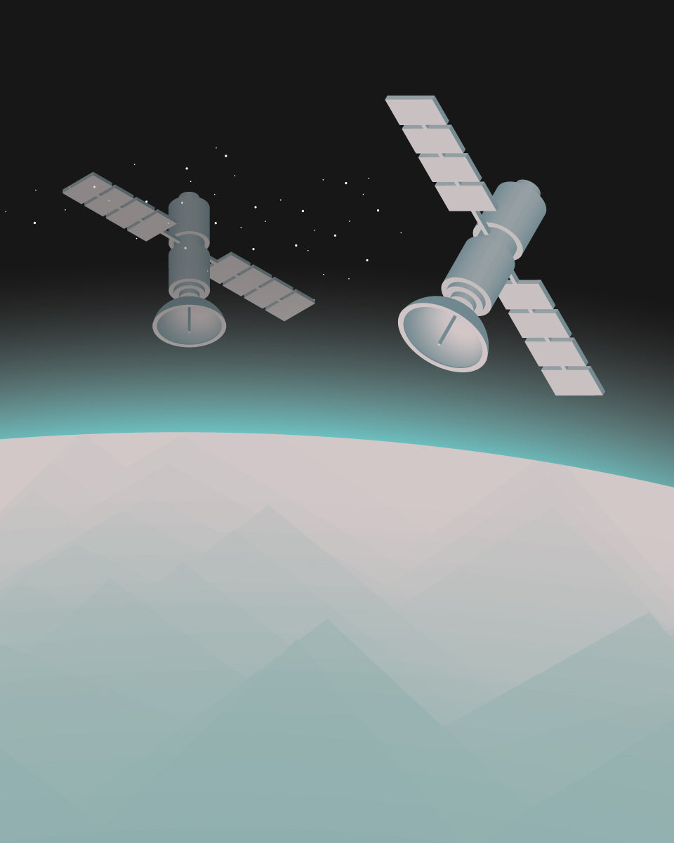
GLONASS is Russia’s version of GPS. The acronym is Russian and stands for Globalnaya Navigazionnaya Sputnikovaya Sistema. In English, it means Global Navigation Satellite System.
What is GLONASS used for?
GLONASS has many of the same capabilities as GPS. It’s used for air, land, and water-borne navigation and can also synchronize time for users on planet Earth or in space. GLONASS also provides geodsy information (the science of understanding the properties of the planet), such as:
-
coordinates of points and land boundaries,
-
military cartography,
-
animal monitoring,
-
environmental protection,
-
personal tracking,
-
search and rescue,
-
and other useful applications.

History of GLONASS
GLONASS began development in the Soviet Union in 1976. The initial launch of the system happened in 1982 as a potential aid in weather positioning and so the military could measure velocity and time.
In 2003, another version called GLONASS-M was launched. GLONASS-M factored in a civil code for more standard positioning and map-making.
In 2011, GLONASS-K came along. This additional system prompted an even stronger signal and boosted performance. GLONASS-K2 set off to space in 2019, adding CDMA (code-division multiple access) signals, improving accuracy and increasing power, which benefits various radio communication technologies. This satellite is 70% heavier and has 170% more power than previous launches.
The future of GLONASS
As with other forms of GNSS, the development of GLONASS is an ongoing process lasting decades. GLONASS-V is still in the design stages and is set to launch from 2025-2030.
GLONASS vs GPS
Although they’re both a form of GNSS, GLONASS and GPS have some distinct differences as satellite positioning systems.
The number os satellites, inclination, and orbital periods all factor into these differences. The GLONASS system currently has 24 satellites, while GPS has 31, with a target of 33. Orbital height, and advanced way to measure altitude, comes in at 21,150 km for GLONASS and 19,139 km for GPS. Plane inclination, or the angles of each satellite system, also makes a difference.
GLONASS is a bit more pitched at 64.8 degrees compared to GPS 55 degrees. Orbital periods come close to a tie, with GLONASS at 11 hours and 58 minutes and GPS at 11 hours and 13 minutes.
Location is another factor. GLONASS measuring stations are mostly located in Brazil and Antarctica. GPS has measuring stations located all around the world, including Hawaii, Colorado Springs, Ascension Island in the South Atlantic, Diego Garcia in the Indian Ocean, and Kwajalein Atoll in the North Pacific.
Is GLONASS better than GPS?
When it comes to positional accuracy, GPS takes the lead over GLONASS. However, due to the various positionings of the GLONASS satellites, it has better accuracy when paired with higher latitudes (such as far north or far south).
Is GLONASS free?
Just like GPS in the United States, GLONASS is also free for civilian use in Russia. In May 2007, a decree was signed to make GLONASS free and accessible to all forms of navigation. Foreign consumers also have access to GLONASS, free of charge.

Share:
Should Construction Businesses Charge Customers for Equipment Rental?
Telematics Go-To Guide Part 1: What is Telematics?