Those of you familiar with the Global Positioning System (GPS) may be surprised to learn that different countries can and do have their own flavor of positioning satellite network. For Europe, that system is called Galileo; and we’re going to learn all about it!
What is Galileo?
Galileo is Europe’s version of GPS, which falls under the umbrella of GNSS or Global Navigation Satellite System. Galileo is operated by the European Space Agency (ESA) and the European GNSS Agency, which is headquartered in Prague, Czech Republic.
Prior to Galileo, most of Europe had to rely on the Russian version of GNSS, GLONASS, which only offered limited use to civilians. But now, after almost 20 years of development, Galileo now provides all European citizens free access to global navigation at the touch of their fingertips.
History of Galileo GNSS
The Galileo project had a rocky start. There were so many disagreements over funding that the project was almost cancelled. But in May 2003, a budget of €1.1 billion was finally allotted to Germany, France, and Italy, who were in charge of spearheading the project.
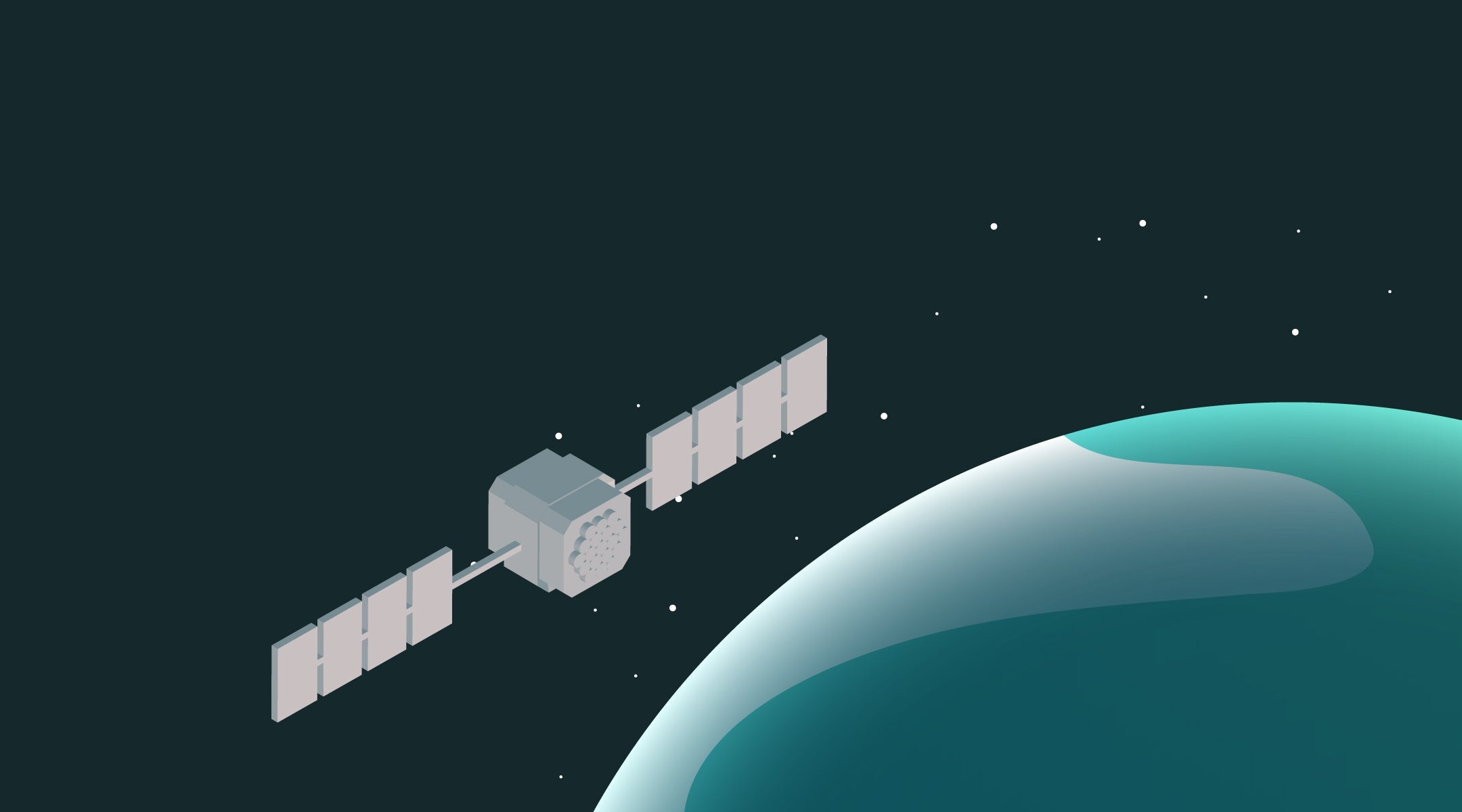
The first satellite was launched two years later, followed by a second in April 2008. By 2025, 30 Medium-Earth Orbit (MEO) satellites had been launched and are now in service around the planet.
Galileo vs GPS
Although the GPS launched before Galileo, the intervening years meant that satellite technology had an opportunity to progress. As a result, Galileo’s satellites are a bit more advanced in both construction and capability than the older GPS satellites.
Reports say that Galileo can provide location to within less than a meter, whereas GPS measures at least three meters. GNSS Galileo also sends information more frequently than GPS, which means fewer delays in service and reduces the amount of errors from interference in the ionosphere. For even greater accuracy and frequency, some hardware developers are working to combine the power of Galileo with that of other GNSS networks.
Galileo vs BeiDou
Galileo and GPS aren’t the only two GNSS systems in Orbit. BeiDou launched their 60th and final satellite in 2024. Asides from the sheer quantity of satellites BeiDou differs from the other systems in that their satellites are equipped with two-way communications. This allows satellites to receive information from connected devices, not just transmit.
Early iterations of BeiDou began offering navigation services in China in the 2000s, and now offers users from China and the surrounding areas to navigate by satellite on a global level.
Which other countries are developing GNSS?
Besides the US, China, Russia, Europe, India, and Japan are all developing regional navigational satellite systems. India’s network is known as NavIC, while Japan’s is Quasi-Zenith Satellite System or QNSS.
Japan’s QNSS network was partly developed because of the phenomenon known as urban canyons: which is when tall buildings like skyscrapers are built in such close proximity that they actually change the conditions of the air caught in between them, the way a canyon would. Urban canyons in Japanese cities were causing issues for GPS users, and so Japan’s QNSS system would improve service in those areas while at the same time maintaining compatibility with GPS.


Share:
How GPS Improves Road Safety for Your Fleet
The GPS Glossary