What is a boundary?
Well, boundaries or geofences are digital fences that allow users of GPS systems to get alerts on when something interacts with a specific place on the map. If the GPS tracker is placed on the thing you want to track, boundaries are drawn around the place you want to track.
How do boundaries work?
In the most basic sense, our system knows the location of the boundary, and when a tracker reports its position, we know its location. Once the system has both locations, it's a simple comparison to see if the tracker is inside the boundary or not.
At the most basic level, Spytec GPS alerts let you know when something leaves a specified area at-a-glance. This means we'll send a report based on changes in that status. For example, we start with a report from a tracker inside the boundary, then, when it has moved outside the boundary, we will send you an alert that the tracker has left that specific area. The same thing will happen when a tracker enters a boundary–it will trigger an alert and let you know.
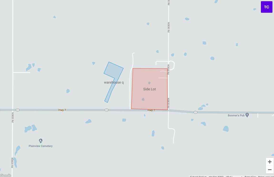
Setting up a boundary is super simple. You can see the process here.
You can set up unlimited boundaries for your trackers. That means, depending on what you're tracking–let's say, your equipment or fleet–you can get departure times from one location and compare them to arrival times at the next. This would allow you to create ETAs over time for your customers if this is something you would need.
Additionally, when combined with the User Role access, you can actively provide value to your customers. For example, your departure times can be shown to the crew that rented the equipment from you, so they know precisely when they will get to work with it, etc.
Why should I use boundaries?
IBoundaries are another tool in your toolbox to get the most out of your tracking software. A physical GPS tracker allows you to monitor your things, while a boundary allows you to monitor your places. Seeing how your trackers interact with those places can be key.
For example, when it comes to GPS tracking for your rental equipment, you will get a ton of value from adding a boundary around your HQ and storage lots. That way, you will always know when something leaves or arrives in these particular spots.
Boundaries are also an excellent theft prevention and recovery tool. This feature can send a notification when something leaves a certain area, giving you a much better chance to react to any unauthorized movements that you set. Alternatively, if you are monitoring the comings and goings of equipment for utilization purposes, it also gives a ton of value.
Example #1 Using Boundaries to Track Movement
To help them keep better track of their assets, especially during busier seasons, Island Golf Cart Rentals has features like Smart Boundaries & Notifications set up so they know when a golf cart leaves a previously authorized area they defined for their carts.
“We get an email or an alert through the app, and it’s really easy to follow up on and stay updated if anything were to happen.” And something did happen before. During their first summer in 2019, they had one of their golf carts stolen. They had the tracking set up but not defined boundaries – so they didn't realize that the cart had gone outside the authorized area it was allowed. This delayed their response time in locating the tracked cart.
With boundaries, they would have been able to know instantly when a cart left an authorized area so they could act quickly. Let's take a look at an example of where this prevention & recovery happened successfully.
Example #2 Using Boundaries for Theft Prevention & Recovery
One large retail brand uses Smart Boundary Notifications to know when any items leave store boundaries when they shouldn't–so they can track, prevent & recover stolen merchandise.
In fact, with accurate GPS location data and instant notifications, they were able to quickly work with law enforcement and obtain a warrant to recover their stolen merchandise.
“Thanks to these alerts, we've made over 150 arrests and recovered over $300,000 in merchandise from our GPS tracking activity with Spytec. It s been truly such an asset to our operations."
Example #3 Using Boundaries for Resource Monitoring & Utilization
“We’ve set up Smart Boundaries, so we know exactly when a vehicle or equipment enters and leaves the job site,” said Trenton Rath, Safety Manager
& Field Accountant at HQS Construction. "We’ve just gained a ton of peace of mind knowing where the equipment is at all times. Even if it doesn’t move –we know it’s there. What's also helpful is it shows us what equipment is being used and what's not so we can transfer it to another job site if needed."
You can also put boundaries around rental job sites to make sure that equipment is making it to the renter's site on time and safely. This way, you have proof and can see that it's being used on the specified site. These are just a few ways to use boundaries. Your unique use case may open many more uses and possibilities for this feature.
Wrapping it up
In my opinion, you shouldn't hesitate to use boundaries. They give you a detailed look at how your trackers interact with a spot on the map.
Boundaries are a versatile, easy-to-use tool that I cannot recommend enough. If you have any questions, do not hesitate to reach out, we are happy to help.

.png?width=60&name=Group%205%20(1).png)
.png?width=60&name=Group%204%20(1).png)


